What Is Karst?
You may not recognize the word, (it is Slovenian, after all) but if you live in the Austin area, there’s a good chance that it’s under you right now. In fact, it makes up 15% of the Earth’s land surface!
So, what is it?
Karst is the geologic landscape, underlain by limestone, that forms caves, sinkholes, and aquifers through dissolution. If you dug 260 feet beneath the Austin streets, you would find the reservoir of water that much of central Texas relies on in one shape or form. Look around town and you’ll see mentions of the Edwards Aquifer everywhere. Road signs, informational brochures, displays at springs and swimming holes. The aquifer is the underground water source that central Texans utilize for nearly all aspects of their water needs, even if many of us don’t realize it.
Learn more about the Edwards Aquifer.

What Karst Looks like
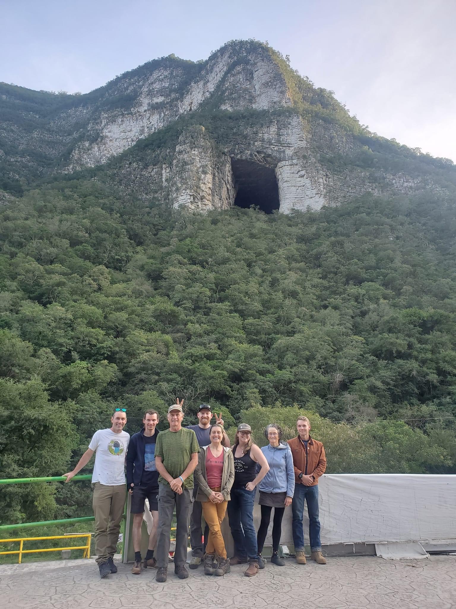
Karst can be huge! Towering limestone mountains, Karst pinnacles, and colossal caverns. This photo is from an imposing cave south of Monterrey, Mexico. This example is more dramatic than the average cave we come across in the rolling hills of central Texas, but both are considered to be Karst.
Karst In Texas
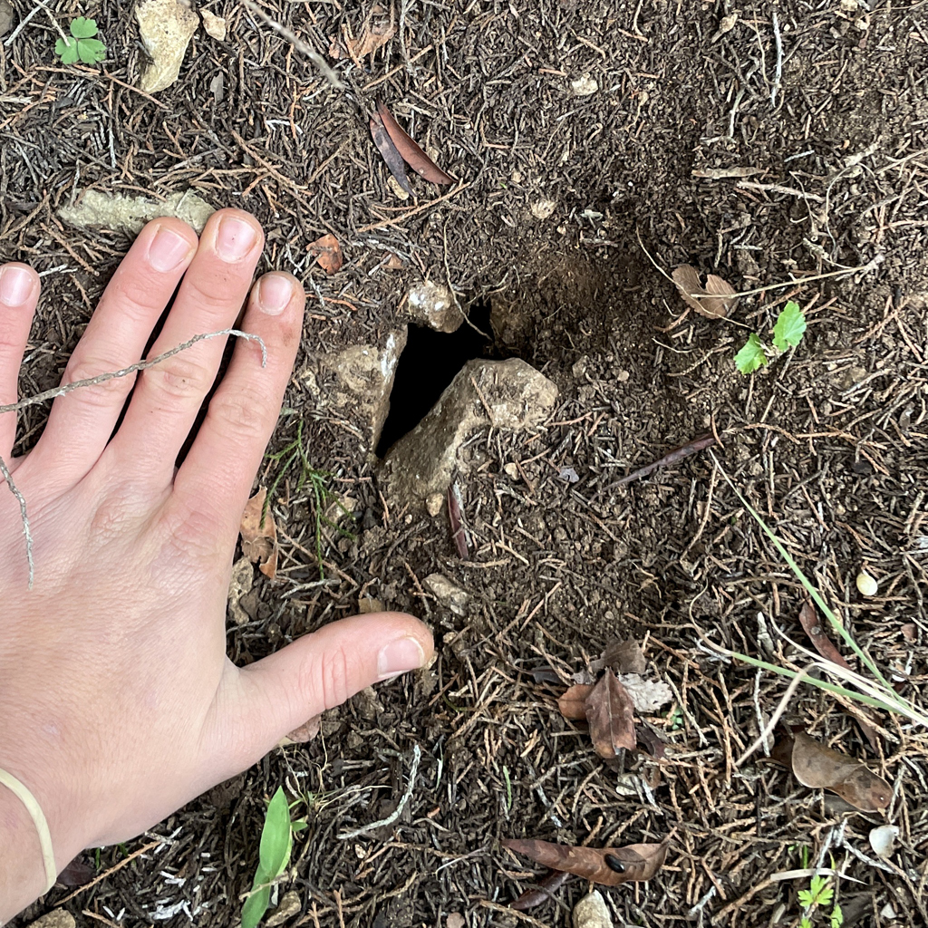
Karst can also be small! Much smaller than this in fact. Karst may look like not much more than a crack in the rock. With experience, a keen-eyed karst walker can discern an obscured karst feature from just another pile of rocks or animal burrow. What’s more, with a little (or a lot of) restorative excavating, that karst feature can once again fulfill its function. That may be recharging water to the aquifer, acting as shelter for subterranean species, or simply being a more attractive, interesting feature of the landscape than a trash filled pit or heap of debris.

